|
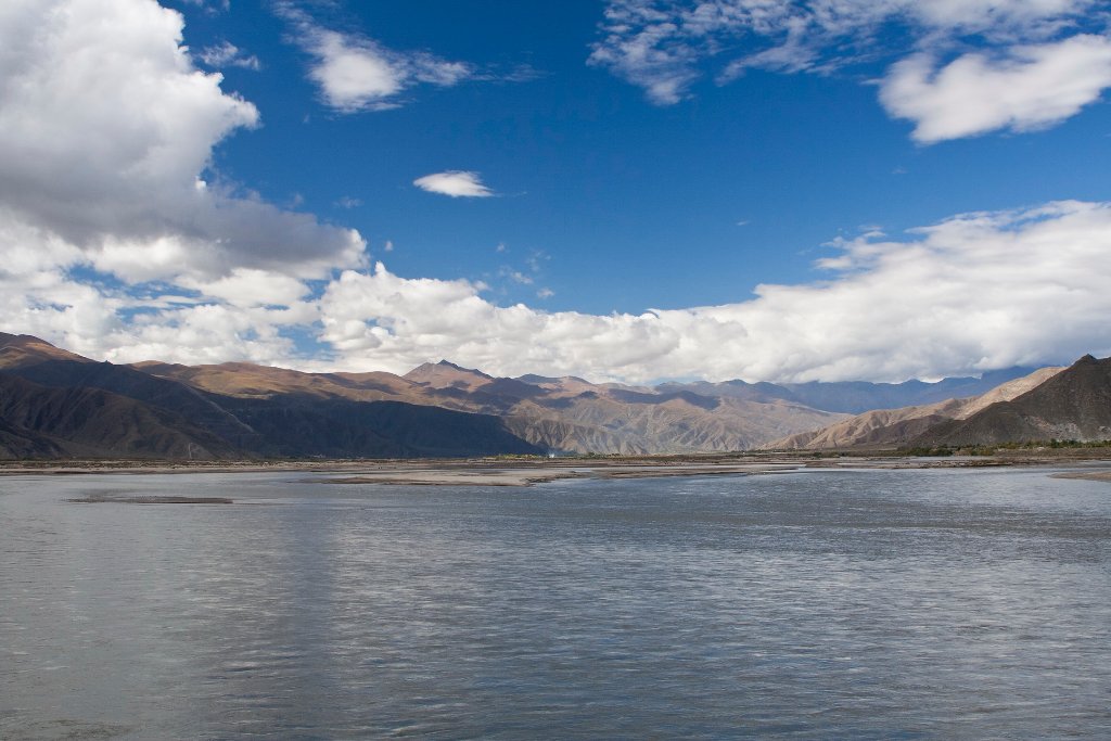 |
| Yarlung Tsangpo river | |
| Latitude: N 29°19'38,36" | Longitude: E 90°41'8,78" | Altitude: 3595 metres | Location: Dagar | State/Province: Tibet Autonomous Region | Country: China | Copyright: Ron Harkink | See map | |
| Total images: 23 | Help | |
|
|
|
| Yarlung Tsangpo river | |
| Latitude: N 29°19'38,36" | Longitude: E 90°41'8,78" | Altitude: 3595 metres | Location: Dagar | State/Province: Tibet Autonomous Region | Country: China | Copyright: Ron Harkink | See map | |
| Total images: 23 | Help | |